Extreme weather events

Changes in wind and wave patterns may interact with other climate change projections such as sea level rise, but the…

A report on a regional assessment of climate change impacts and recommendations for adaptation strategies in the NE Pacific (British Columbia, Canada), conducted in collaboration with a regional planning organization (Marine Plan Partnership), aimed at bridging the gaps between climate science and regional adaptation planning.
Changes in wind and wave patterns may interact with other climate change projections such as sea level rise, but the…
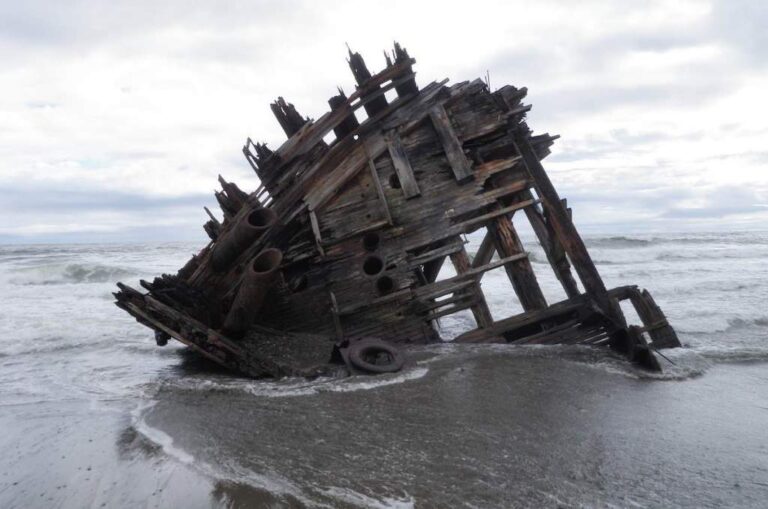
Climate change trends have in turn affected coastal ecosystems and economic sectors in BC. As of 2017, some observed impacts…
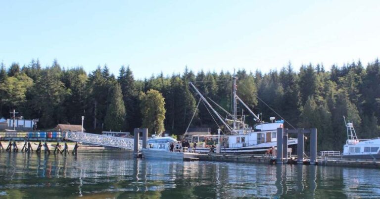
Empirical data from lighthouse station monitoring stations in 2016 reflect a long-term trend towards decreasing sea surface salinity (SSS) across…
Globally, dissolved oxygen levels in the ocean have been declining for more than two decades [53]. Declining ocean oxygen levels…
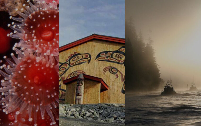
Ocean acidification is caused by the dissolution of atmospheric carbon dioxide into the oceans, which results in a decrease in…
Sea surface temperatures are monitored at lighthouse stations along the BC coastline. Average annual sea surface temperatures have warmed between…
Sea level rise is the direct result of warming temperatures that trigger increased melting of glaciers and ice caps, as…
Precipitation is a key indicator of climate change, and changes in precipitation will affect all sectors, ecosystems, and communities. In…
Air temperatures have increased throughout BC by ~1.3⁰C over the past century (from 1900-2013; rates of 0.12 – 0.13⁰C per…

Air temperatures on the north portion of Vancouver Island are expected to increase by 2050 to the same range as…
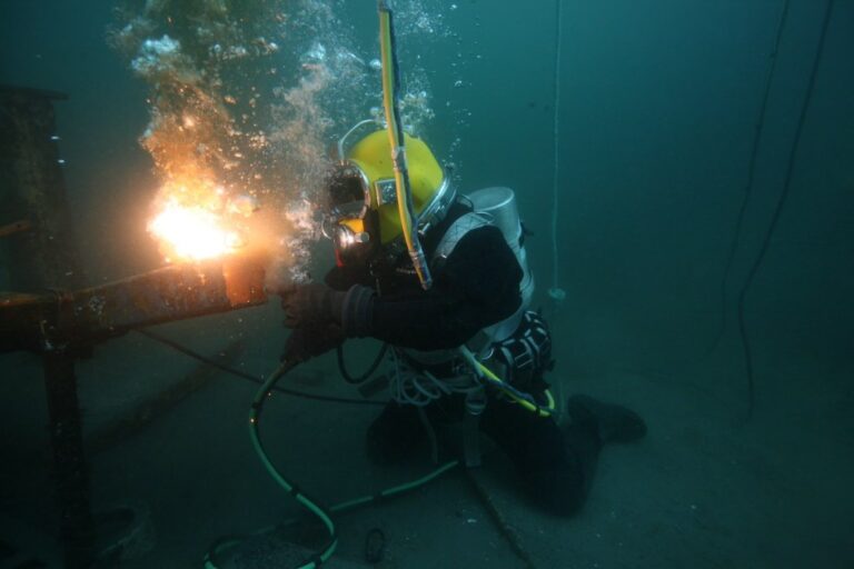
The previous section included climate change projections and impacts at the scale of the BC coast and MaPP region. Here,…
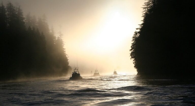
This section describes the current state of knowledge of climate change projections which are likely to affect the MaPP region…
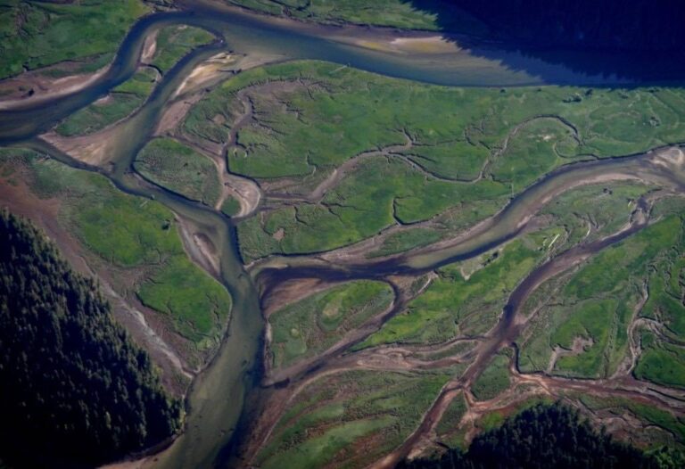
Here, we categorize some observed climate change impacts for BC, and specifically the coastal region. Determining trends in climate conditions…
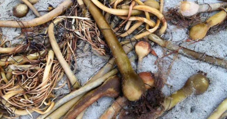
Rising emissions of carbon dioxide and other greenhouse gases from human populations and industries are causing the global climate to…
In BC, the productive coastal marine food web supports rich First Nations and non-First Nations communities, cultures, and economies. Human…
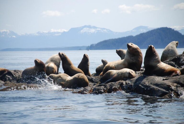
Through the Marine Planning Partnership, now Marine Plan Partnership (MaPP), provincial and First Nations governments in BC are working towards…

Global climate change is now widely recognized as the singular greatest threat to the world’s ecosystems, cultures, and economies. Increasing…

For the maps of climate variables and projections, we sourced both global scale and regional scale data wherever it was…

This project synthesizes the current state of understanding of climate change projections, impacts, and vulnerabilities (exposure, specifically), risk, and adaptation…

This report is based on an extensive literature review and a series of discussions with experts involved in relevant research…

The world’s climate is changing at an increasingly rapid rate due to greenhouse gas emissions from human industrial activity and…
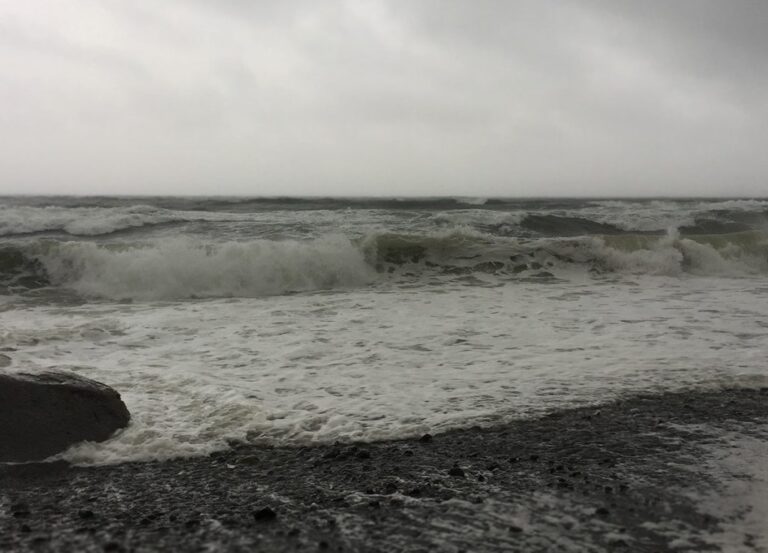
Across the MaPP region, increasing intensity and frequency of storms is likely to increase inundation risk (flooding) and erosion risk…

BC has three major international ports, four regional ports, and 40 local harbours [74]. Within the MaPP region, Prince Rupert…
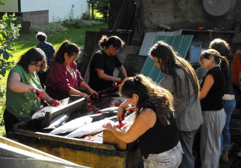
Coastal First Nations and non-First Nations communities depend on the ocean and nearshore environments for economic, social, and cultural values….
Pink Sheep Media is a design and communications company.
This is our community hub. We have so many incredible researchers, writers, creators, and change-makers in our community.